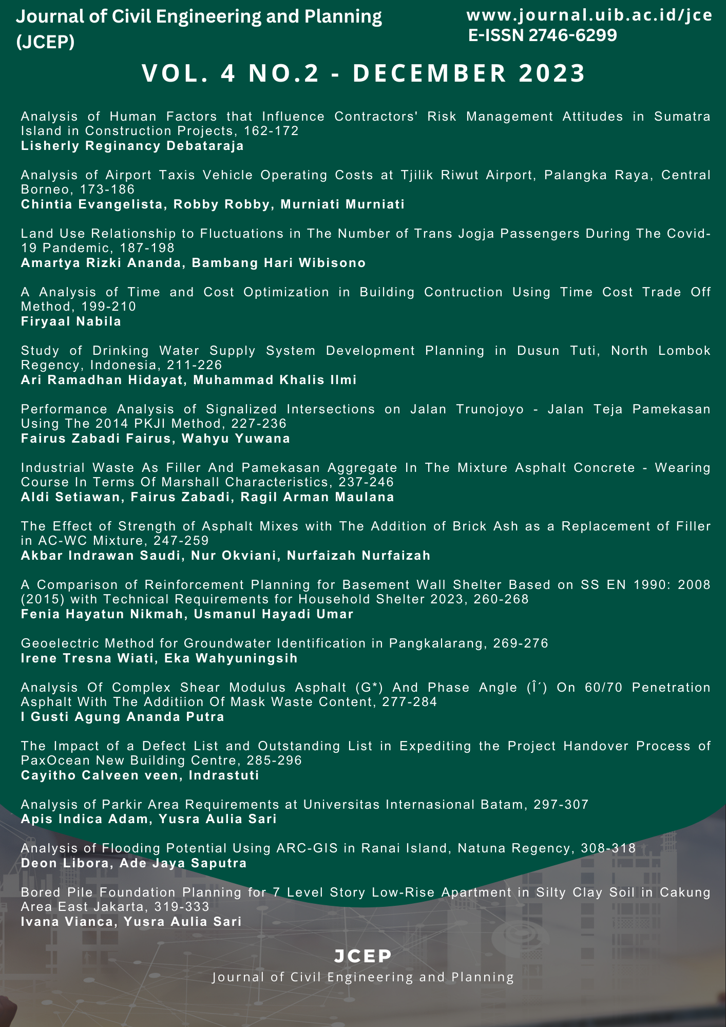
Geoelectric Method for Groundwater Identification in Pangkalarang
DOI:
https://doi.org/10.37253/jcep.v4i2.8816Keywords:
aquifer, geoelectricity, Pangkalarang coast, resistivityAbstract
Meeting the need for clean water is one of the supporting conditions for creating good public health. Clean water can be obtained from several sources, including ground water, river water, dug well water, and so on. Likewise, people in the Pangkalarang area are experiencing a clean water crisis. They have difficulty getting clean water and can only rely on dug well water which is brownish red in color, similar to tea water and has a slight metallic smell. And of course this water is not suitable for consumption and can only be used for watering plants, washing clothes and bathing. The condition of clean water may be influenced by the condition of the Pangkalarang area which has swamps and is a coastal area, so it is possible that water pollution from dug wells may occur. The Pangkalarang area has a source of clean water in the form of groundwater whose existence needs to be known to make it easier for the community to determine the position of the drilled well. Therefore, researchers consider it necessary to investigate the existence of groundwater which is a source of clean water using Geoelectric methods in the Pangkalarang area. This Geoelectric method uses a Schlumberger electrode configuration to obtain information on the position and depth of the aquifer. This electrode configuration has the advantage of good vertical resolution so that it can represent groundwater depth conditions in detail along with information on the types of silt or rock layers in or around the aquifer. The results of observations and research data processing using IPI2Win software show that there is a very Geoelectric point position that can be used as a reference for determining the drilled well point, namely at a depth of 87 m it is estimated that water can be found, but it is still very likely to be mixed with sea water. Therefore, researchers recommend that groundwater drilling be carried out to a depth of 87 - 164 meters.
Downloads
References
[2] G. A. E. Windhari and I. G. D. Atmaja, “Analisis Keberadaan Air Tanah Dengan Metode Geolistrik Konfigurasi Schlumberger di Daerah Lombok Tengah,†Empiricism J., vol. 3, no. 1, pp. 89–99, 2022, doi: 10.36312/ej.v3i1.896.
[3] M. Sutasoma, A. P. Azhari, and M. Arisalwadi, “Identifikasi Air Tanah Dengan Metode Geolistrik Resistivitas Konfigurasi Schlumberger Di Candi Dasa Provinsi Bali,†Konstan - J. Fis. Dan Pendidik. Fis., vol. 3, no. 2, pp. 58–65, 2018, doi: 10.20414/konstan.v3i2.8.
[4] A. Kuswoyo, “Pemetaan Potensi Air Tanah Sebagai Sumber Air Bersih Di Daerah Pesisir Pantai Batakan Kabupaten Tanah Laut,†Sumber Air, vol. 3, no. 1, pp. 1–10, 2014.
[5] Sunaryo, S. Marsudi, and S. Anggoro, “Identification of sea water intrusion at the coast of amal, binalatung, Tarakan by means of geoelectrical resistivity data,†Disaster Adv., vol. 11, no. 6, pp. 23–29, 2018.
[6] S. Widada, A. Satriadi, and B. Rochaddi, “Kajian Potensi Air Tanah Berdasarkan Data Geolistrik Resistiviti Untuk Antisipasi Kekeringan Di Wilayah Pesisir Kangkung, Kabupaten Kendal, Privinsi Jawa Tengah,†J. Kelaut. Trop., vol. 20, no. 1, p. 35, 2017, doi: 10.14710/jkt.v20i1.1352.
[7] M. H. Loke, “2-D and 3-D Electrical Imaging Surveys,†Tutorial, no. May, pp. 51–52, 2004.
[8] S. A. Mangga and B. Djamal, “Peta Geologi Lembar Bangka Utara, Sumatera.†Pusat Penelitian dan Pengenbangan Geologi, 1994.


_0011.jpg)


